Te Araroa
Hakatere Conservation Park, Ruataniwha Conservation Park, Lake Sumner Conservation Park, Pureora Forest Park, St James Conservation Area, Te Kahui Kaupeka Conservation Park, Mount Richmond Forest Park, Arthur's Pass National Park, Tongariro National Park, Hunua Ranges Regional Park, Pirongia Forest Park, Whanganui National Park, Lewis Pass National Reserve, Craigieburn Forest Park, Nelson Lakes National Park, Tongariro National Park World Heritage Area
- 95 days one way
- Medium
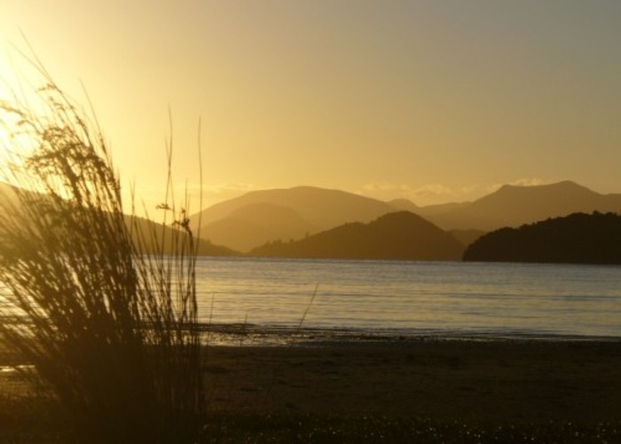
Te Araroa is a proposed walking trail running the entire length of the North and South Islands. It is not complete at present, although some sections of the trail have been opened.
6 members favourited
|
Walking time
|
95 days |
|---|---|
|
Distance
|
2,600.0km |
|
Type
|
One way
|
|
Grade
|
Medium
Grade reflects most challenging sections: possibly the Tararuas and Waiau Pass. Grades explained
|
|
Bookings
|
No bookings — open access
No — open access
|
|
Starts
|
Cape Reinga |
|---|---|
|
Ends
|
Bluff |
|
Maps
|
NZTopo50-BH34
NZTopo50-AZ31 NZTopo50-BQ31 NZTopo50-BA32 NZTopo50-BF33 NZTopo50-AV29 NZTopo50-AV25 NZTopo50-BN32 NZTopo50-AX30 NZTopo50-BL33 NZTopo50-BC33 NZTopo50-AT24 NZTopo50-BP31 NZTopo50-BD33 NZTopo50-AY32 NZTopo50-BM34 NZTopo50-BJ32 NZTopo50-BL32 |
|
Altitude
|
Sea level
–
1,870m
Altitude change 1,870m
|
ID 2794
About this track
313 views in the past year (26 per month).