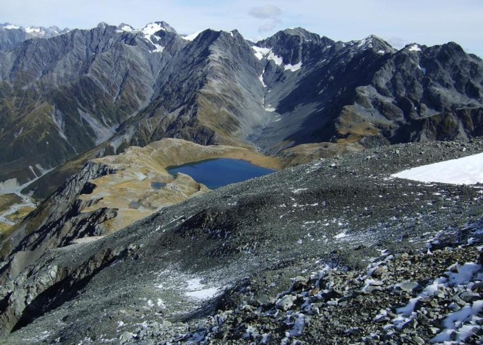
Tops SW of Lake Browning April 2013

I'm sharing this photo of the area near Browning Pass. I guess it must be one of my favoured areas as I've done over twenty trips up there since 1971 now. This photo was taken during a detour when descending Mt Harman. I headed over to the Wilberforce faces to see if I could spot old mine adits or quartz reefs. I saw a big section of the reef but no adits this trip. In the past I've seen the mine entrances when conditions were right. They get buried and uncovered with scree & snow depending on seasons and the state of the scree erosion.
Not far from where this photo was taken a mob of five chamois were spotted.
Some of the peaks from the right to left are the Twin Peaks, Mt Beals, un-named and Mt Walter. Lake Browning freezes in winter and gets deep snow drifts on it. When like that you can walk across it.
I've marked Lake Browning on the accompanying map.
