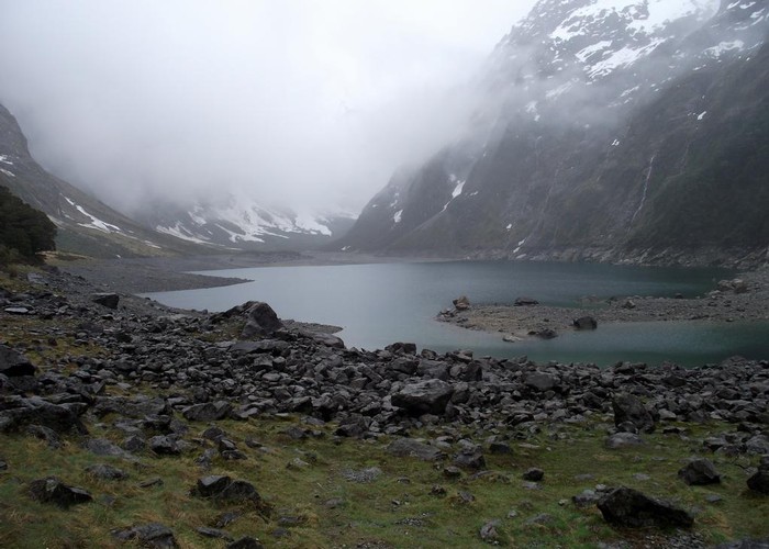
Lake Marian
Fiordland National Park
- 3 hr return via same track
- Easy/medium
Short walk from the Hollyford Road up to a hanging valley and lake in the Darran Mountains.
3 members favourited
3 members checked in
|
Walking time
|
3 hr |
|---|---|
|
Distance
|
5.0km |
|
Type
|
Return via same track
|
|
Grade
|
Easy/medium |
|
Bookings
|
No bookings — open access
No — open access
|
|
Starts
|
Lake Marian car park, Lower Hollyford Road, off SH94. |
|---|---|
|
Maps
|
NZTopo50-CB09
|
|
Altitude
|
320m
–
720m
Altitude change 400m
|
|
Link
|
www.doc.govt.nz/parks-and-recreation/tracks-and-walks/fiordland/fiordland/lake-marian/http://www.doc.govt.nz/parks-and-recreation/tracks-and-walks/fiordland/fiordland/lake-marian/ |
|---|
From the car park, cross a swing bridge and follow a track through beech forest alongside Marian Creek. A wooden gantry edges along the bank of the creek, affording good views of the tumbling water. From here, the track climbs through forest to the lake, situated in a hanging valley above the bushline.
ID 6266
About this track
53 views in the past year (4 per month).