Manapouri Circle Track
Fiordland National Park
- 3 hr 30 min – 4 hr loop track
- Easy/medium
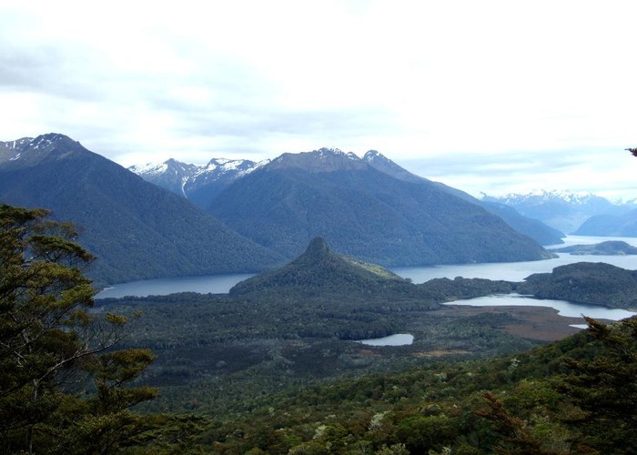
Track goes through beech forest and along the Manapouri Lake and Waiau River. The track is well marked and cleared in spring by DOC.
|
Walking time
|
3 hr 30 min – 4 hr |
|---|---|
|
Distance
|
9.1km |
|
Type
|
Loop track
|
|
Grade
|
Easy/medium |
|
Bookings
|
No bookings — open access
No — open access
|
|
Starts
|
Opposite Manapouri Pearl Harbour |
|---|---|
|
Maps
|
NZTopo50-CD07
NZTopo50-CE07 |
|
Altitude
|
175m
–
575m
Altitude change 400m
|
There is boat transfer from Pearl Harbour. If you go clockwise, there is a steep climb until you come out at the ridge overlooking Back Valley, then it goes steady down to the intersection that leads to the Hope Arm Hut to the left. This track goes right and along several beaches of the Manapouri Lake, then along the Waiau River back to the boat pier.