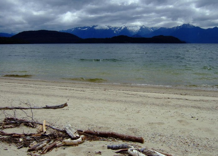
Manapouri Circle Track
Fiordland National Park
- 3 hr 30 min – 4 hr loop track
- Easy/medium
Track goes through beech forest and along the Manapouri Lake and Waiau River. The track is well marked and cleared in spring by DOC.
|
Walking time
|
3 hr 30 min – 4 hr |
|---|---|
|
Distance
|
9.1km |
|
Type
|
Loop track
|
|
Grade
|
Easy/medium |
|
Bookings
|
No bookings — open access
No — open access
|
|
Starts
|
Opposite Manapouri Pearl Harbour |
|---|---|
|
Maps
|
NZTopo50-CD07
NZTopo50-CE07 |
|
Altitude
|
175m
–
575m
Altitude change 400m
|
ID 6175
About this track
54 views in the past year (5 per month).