Mount Grey (lookout route)
- 2 hr 30 min return via same track
- Easy/medium
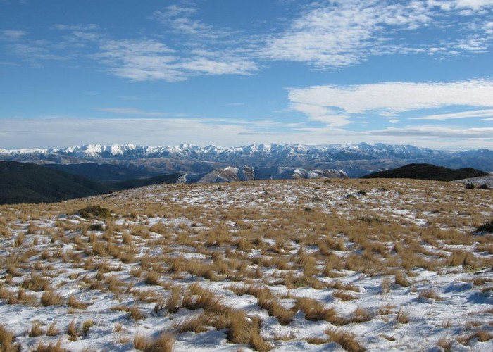
An easy walk onto tops in the Canterbury foothills, with panoramic views of Pegasus Bay, Banks Peninsula, the Puketeraki Range, and North Canterbury.
1 member favourited
4 members checked in
|
Walking time
|
2 hr 30 min |
|---|---|
|
Distance
|
5.0km |
|
Type
|
Return via same track
|
|
Grade
|
Easy/medium |
|
Bookings
|
No bookings — open access
No — open access
|
|
Starts
|
Lake Janet Picnic Area, Cramptons Bush Road, Ashley Forest |
|---|---|
|
Maps
|
NZTopo50-BV23
|
|
Altitude
|
450m
–
933m
Altitude change 483m
|