Key Summit
Fiordland National Park, Te Wāhipounamu - South West New Zealand World Heritage Area
- 2 hr 30 min return via same track
- Easy
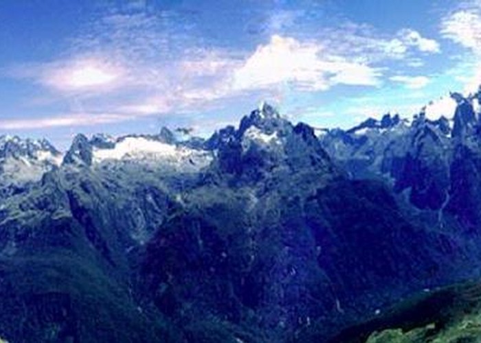
Short, easy walk at the start of the Routeburn Track to a low summit. Panoramic views of the Greenstone, Hollyford, and Eglinton Valleys, and the snowy Darran, Ailsa, and Livingstone Ranges.

3 members favourited
14 members checked in
|
Walking time
|
2 hr 30 min |
|---|---|
|
Distance
|
6.0km |
|
Type
|
Return via same track
|
|
Grade
|
Easy |
|
Bookings
|
No bookings — open access
No — open access
|
|
Starts
|
The Divide shelter and car park, north of Lake Fergus, SH94 |
|---|---|
|
Maps
|
NZTopo50-CB09
|
|
Altitude
|
532m
–
918m
Altitude change 386m
|