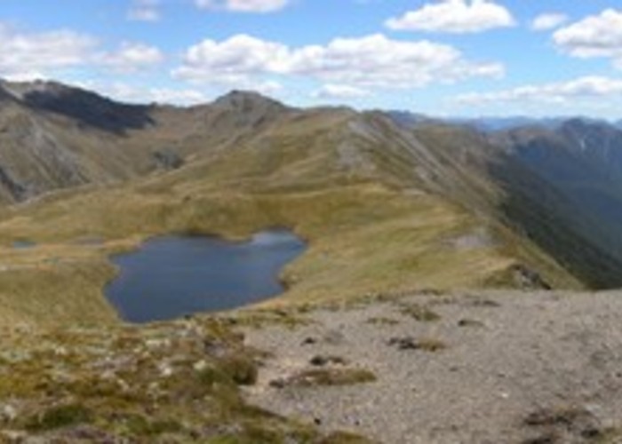
Lewis Tops
Lake Sumner Conservation Park, Lewis Pass National Reserve
- 1 – 2 days return via same route
- Medium
A short climb onto the tops, providing panoramic views of the Lewis Pass area.
8 members favourited
3 members checked in
|
Walking time
|
1 – 2 days |
|---|---|
|
Distance
|
8.0km |
|
Type
|
Return via same route
|
|
Grade
|
Medium |
|
Bookings
|
No bookings — open access
No — open access
|
|
Starts
|
Car park at bend just north of Lewis Pass, SH7 |
|---|---|
|
Maps
|
NZTopo50-BT23
|
|
Altitude
|
907m
–
1,568m
Altitude change 661m
|
ID 340
About this track
258 views in the past year (22 per month).