Hump Ridge Track
Fiordland National Park
- 3 days loop track
- Easy/medium
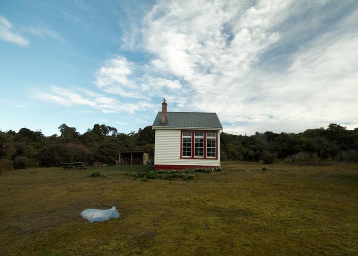
The new Hump Ridge Track links the Waitutu coastline west of Invercargill with the subalpine landscape of the Hump Ridge. Historic buildings and viaducts. (See also the <a href='/index.cfm/action/track/TrackID/18/'>Teal Bay Route</a>.)
2 members favourited
9 members checked in
|
Walking time
|
3 days |
|---|---|
|
Distance
|
53.0km |
|
Type
|
Loop track
|
|
Grade
|
Easy/medium |
|
Bookings
|
No bookings — open access
No — open access
|
|
Starts
|
Blue Cliffs Beach, Tuatapere |
|---|---|
|
Maps
|
-
|
|
Altitude
|
Sea level |