Bridal Veil Track
Arthur's Pass National Park
- 45 min one way
- Easy
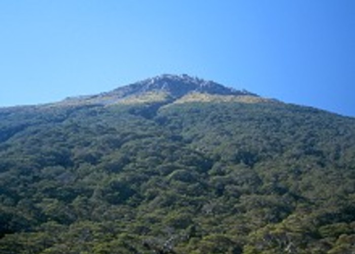
Attractive beech forest; flora information panels; access to Bealey Valley and Pass summit from Arthur's Pass village.
|
Walking time
|
45 min |
|---|---|
|
Distance
|
1.5km |
|
Type
|
One way
|
|
Grade
|
Easy |
|
Bookings
|
No bookings — open access
No — open access
|
|
Starts
|
Punchbowl Road, Arthur's Pass Village |
|---|---|
|
Ends
|
Near Arthur's Pass summit |
|
Maps
|
NZTopo50-BV20
|
|
Altitude
|
737m
–
840m
Altitude change 103m
|
ID 303
About this track
54 views in the past year (5 per month).