Waimakariri River-Rolleston River
- 2 – 3 days one way
- Hard
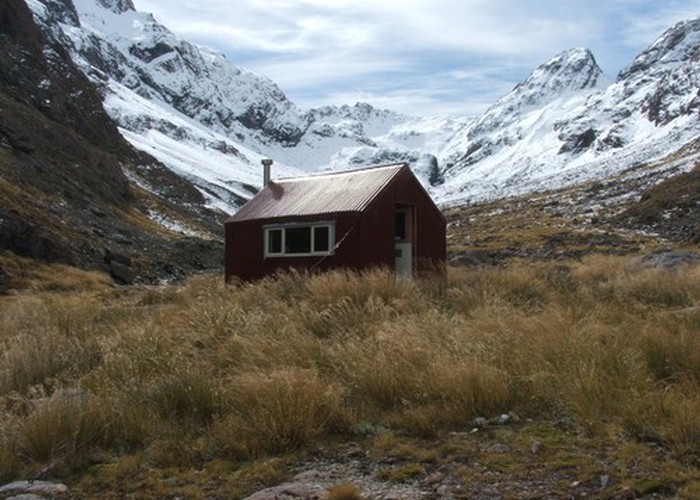
Alpine tramp over Waimakariri Col.
1 member favourited
2 members checked in
|
Walking time
|
2 – 3 days |
|---|---|
|
Distance
|
22.0km |
|
Type
|
One way
|
|
Grade
|
Hard |
|
Bookings
|
No bookings — open access
No — open access
|
|
Starts
|
Klondyke Corner |
|---|---|
|
Ends
|
Intersection of SH73 and Rolleston River |
|
Maps
|
NZTopo50-BV20
|
|
Altitude
|
600m
–
1,800m
Altitude change 1,200m
|
DOC have a fairly accurate route guide on their website. However, the last section, which is the bush track along the Rolleston River is very overgrown and much slower going than the route guide suggests. Allow plenty of extra time for this part of the trip.