Griffin Range
- 1 – 3 days return via same track
- Medium
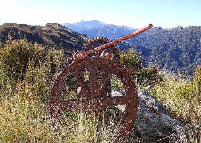
A traverse of undulating tops to the summit of Mount Griffin. Good camping next to pretty tarns, striking cliffs, and an old serpentine mine.
1 member favourited
3 members checked in
|
Walking time
|
1 – 3 days
11 hr 30 min
|
|---|---|
|
Type
|
Return via same track
|
|
Grade
|
Medium |
|
Bookings
|
No bookings — open access
No — open access
|
|
Starts
|
Harrington Creek, SH73 west of Jacksons |
|---|---|
|
Maps
|
NZTopo50-BV19
NZTopo50-BU19 |
|
Altitude
|
120m
–
1,516m
Altitude change 1,396m
|
ID 2660
About this track
254 views in the past year (21 per month).