Routeburn Track
Fiordland National Park, Mount Aspiring National Park, Te Wāhipounamu - South West New Zealand World Heritage Area
- 3 days one way
- Easy
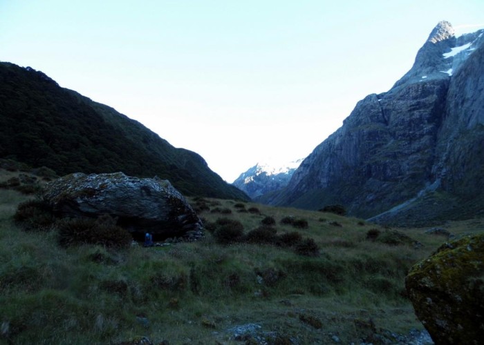
Dramatic views on an exposed alpine walk.
38 members favourited
62 members checked in
|
Walking time
|
3 days |
|---|---|
|
Distance
|
33.0km |
|
Type
|
One way
|
|
Grade
|
Easy |
|
Bookings
|
No bookings — open access
No — open access
|
|
Starts
|
Routeburn Shelter, head of Lake Wakatipu |
|---|---|
|
Ends
|
The Divide, Milford Te Anau Road |
|
Maps
|
NZTopo50-CB09
|
|
Altitude
|
450m
–
2,300m
Altitude change 1,850m
|