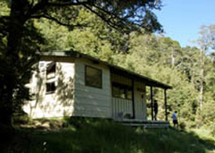
St James Walkway
Lake Sumner Conservation Park, St James Conservation Area, Lewis Pass National Reserve
- 5 days one way
- Easy
Beech forest, mountain scenery, farmland, wild horses, mud.
4 members favourited
36 members checked in
|
Walking time
|
5 days |
|---|---|
|
Distance
|
66.0km |
|
Type
|
One way
|
|
Grade
|
Easy |
|
Bookings
|
No bookings — open access
No — open access
|
|
Starts
|
Lewis Pass car park, SH7 |
|---|---|
|
Ends
|
Boyle Village, SH7 |
|
Maps
|
NZTopo50-BT24
NZTopo50-BT23 NZTopo50-BU23 |
|
Altitude
|
580m
–
1,136m
Altitude change 556m
|
ID 239
About this track
373 views in the past year (31 per month).