Mount Oxford
- 6 hr loop track
- Easy/medium
A loop track leading over the summit of Mount Oxford and back through the foothill forest.
|
Walking time
|
1 day
6 hr
|
|---|---|
|
Distance
|
18.0km |
|
Type
|
Loop track
|
|
Grade
|
Easy/medium |
|
Bookings
|
No bookings — open access
No — open access
|
|
Starts
|
Coopers Creek car park, Mountain Road, west of Coopers Creek |
|---|---|
|
Maps
|
NZTopo50-BW22
|
|
Altitude
|
350m
–
1,364m
Altitude change 1,014m
|
Mount Oxford is a good day trip from Christchurch. This circuit provides good views from the tops and a lot of diversity: dry beech forest, sub-alpine scrub, tussock tops, mountain beech "goblin forest", and lowland podocarp forest.
The turn off to Coopers Creek is on the right at the western outskirts of Oxford. Beyond Coopers Creek, turn right onto Mountain Road and continue to the road end car park.
Just beyond the car pak, the track branches with a vehicle track leading over a bridge. Follow this through farm land to Payton Lodge. The walking track branches left just beyond the lodge, dropping into forest and crossing a second bridge over Coopers Creek.
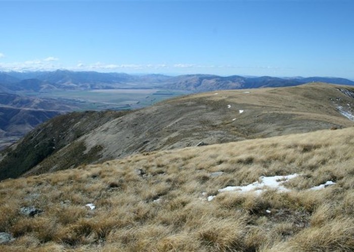
From here, the track leads along the top of a gentle spur through dry beech forest. The spur steepens and breaks out onto sub-alpine scrub soon afterward (1.5 hours from the car park). The final climb is up a smooth tussock slope to the summit trig (1364m), 2.5 hours from the car park.
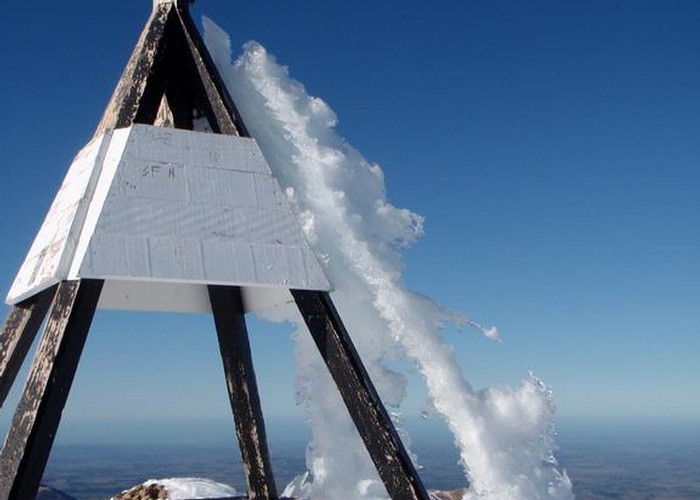
The summit can be very windy if a nor'wester is blowing, making it hard to even stand up. To the east, the rounded ridge leads to Oxford Hill. The Ashley Gorge and Mount Richardson are beyond. Northeast is the hemmed-in plain of the Lees Valley. To the north and northwest, the Townshend River and the Wharfedale Track wind throught the green foothills of the Oxford Forest.