Inland Pack Track
Paparoa National Park
- 2 – 3 days one way
- Easy
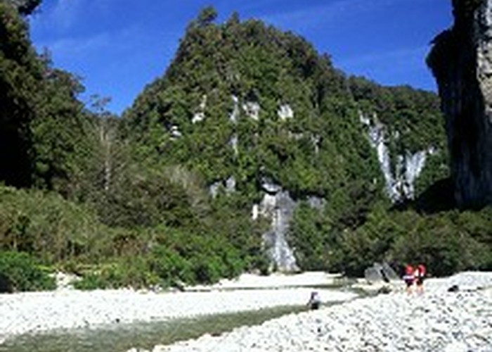
A beautiful historic route through a coastal karst environment. Gorges, caves, waterfalls, subterranean rivers, sink-holes, swimming, and camping beneath a giant overhang.
5 members favourited
6 members checked in
|
Walking time
|
2 – 3 days
9 hr 30 min – 10 hr 30 min
|
|---|---|
|
Distance
|
31.0km |
|
Type
|
One way
|
|
Grade
|
Easy |
|
Bookings
|
No bookings — open access
No — open access
|
|
Starts
|
Punakaiki River, SH6, 2km south of Punakaiki |
|---|---|
|
Ends
|
Fox River, SH6, north of Punakaiki |
|
Maps
|
NZTopo50-BS19
NZTopo50-BS20 |
|
Altitude
|
Sea level
–
200m
Altitude change 200m
|
ID 219
About this track
164 views in the past year (14 per month).