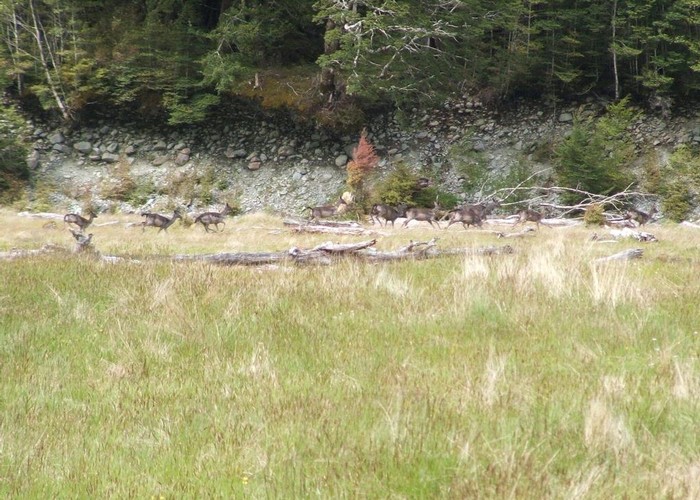
Caples Track
- 2 – 3 days one way
- Medium
A quiet track climbing alongside the Caples River through forest and grassy flats and over a sub-alpine saddle.
3 members favourited
16 members checked in
|
Walking time
|
2 – 3 days |
|---|---|
|
Distance
|
23.0km |
|
Type
|
One way
|
|
Grade
|
Medium |
|
Bookings
|
No bookings — open access
No — open access
|
|
Starts
|
Greenstone River mouth, Lake Wakatipu |
|---|---|
|
Ends
|
The Divide, Milford Te Anau Road |
|
Maps
|
NZTopo50-CB09
NZTopo50-CB10 |
|
Altitude
|
340m
–
945m
Altitude change 605m
|
ID 205
About this track
137 views in the past year (11 per month).