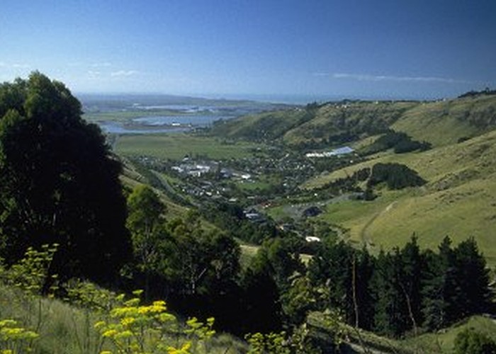
Bridle Path
- 1 hr one way
- Easy
The historic route used by the Canterbury settlers travelling between Lyttelton and Christchurch.
5 members favourited
3 members checked in
|
Walking time
|
1 hr |
|---|---|
|
Distance
|
2.5km |
|
Type
|
One way
|
|
Grade
|
Easy |
|
Bookings
|
No bookings — open access
No — open access
|
|
Starts
|
Mount Cavendish Gondola Base Station, Christchurch |
|---|---|
|
Ends
|
Bridle Path Road, Lyttelton |
|
Maps
|
NZTopo50-BX24
|
|
Altitude
|
40m
–
350m
Altitude change 310m
|
ID 203
About this track
91 views in the past year (8 per month).