Red Hill from Trig M
Korowai/Torlesse Tussocklands Park

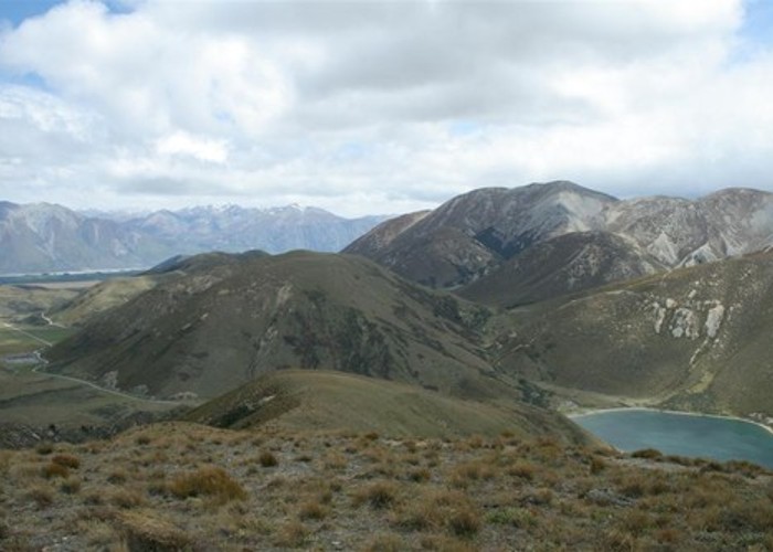
Red Hill (1641m) is the highest peak to the right. The Lyndon Road winds past Lake Lyndon to Lake Coleridge in the distant valley.

Red Hill (1641m) is the highest peak to the right. The Lyndon Road winds past Lake Lyndon to Lake Coleridge in the distant valley.