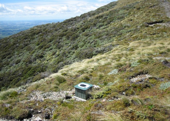
Ruahine Forest Park
A slim park running along the Ruahine Range from the Manawatu Gorge to the southernmost point of Kaweka Forest Park west of Napier. Highest point: 1731m (Mangaweka).

|
Area
|
933 square kilometres |
|---|---|
|
Maps
|
-
|
ID 1455
About this place
139 views in the past year (12 per month).