Ruahine Forest Park
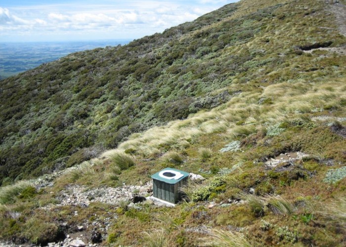
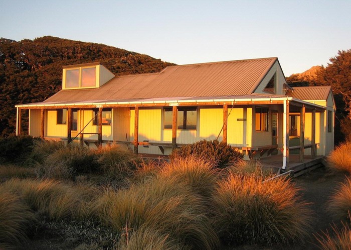
A slim park running along the Ruahine Range from the Manawatu Gorge to the southernmost point of Kaweka Forest Park west of Napier. Highest point: 1731m (Mangaweka). Ruahine FP has the distinction of being the park with the most huts -- at least 60.
Management of the park is split between DOC's Hawkes Bay conservatory (east of the divide) and Manawatu (west of the divide).
Dogs Allowed in some areas:
- West of the divide all dogs are allowed with a free permit (from DOC Palmerston Nth on presentation of registration cert / tag / disc).
- East of the divide: dogs only allowed for hunting, with a kiwi-safe cert and 'hunting with dogs' permit.
|
Area
|
933 square kilometres |
|---|---|
|
Maps
|
NZTopo50-BK37
NZTopo50-BM35 |