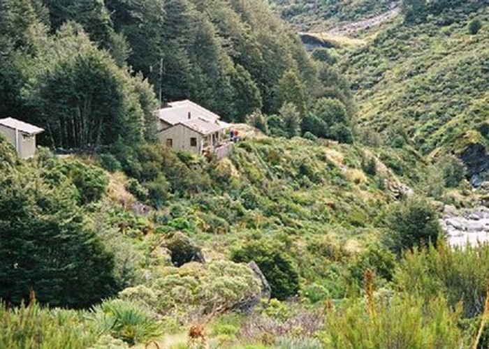
Mount Aspiring National Park
The third-largest national park, although most of its space is under-utilised. The Routeburn is the second busiest trail in New Zealand. The Olivine Wilderness Area is located in this park. Mount Aspiring National Park is part of Te Wahipounamu World Heritage Area. Highest point: 3033m (Mt Aspiring).

|
Area
|
3,555 square kilometres |
|---|---|
|
Maps
|
NZTopo50-CA11
|