matthew
Hi,
I'm Matthew and I started this website way back in December 1996. It has been evolving and growing ever since.
With a young family, I mostly content myself with day walks at the moment, around the Canterbury Plains.


Pinchgut Track
From Taaffes Glen Road to Pinchgut Hut.
More ▶︎
Jacks Pass Track
Track.
Medium. Return by the same track.
A quick subalpine route onto Mount Isobel.
More ▶︎
Mount Richardson Track
Track.
1 day. Easy/medium. One way.
Forested climb from Glentui Bush car park to the summit of Mount Richardson (1047m).
More ▶︎
Mount Richardson Bypass Track
Track.
1 day. Easy/medium. Return by the same track.
This track drops from the ridge east of Mount Richardson to the Glentui Bush car park.
More ▶︎
Mount Richardson Bypass Track
This track pairs with the Mount Richardson Track to form a nice loop from Glentui Bush.
More ▶︎
Mount Richardson Track
Climb from Glentui Bush Road up to the summit of Mount Richardson (1047m).
More ▶︎
Mataketake Hut
Hut.
Serviced Hut (DOC). Capacity: 8.Bookings required.
New hut high on the Mataketake Range above the Haast to Paringa Cattle Track. This hut opened February 2021, as a tribute to the late conservationist, Andy Dennis. The hut includes a library of Dennis's published books.
More ▶︎
Peninsula Walk, Onahau Bay
Track.
1 day. Easy. Loop track.
A short and easy loop coastal forest in Queen Charlotte Sound.
More ▶︎
James Vogel Track
Track.
1 day. Easy. Loop track with a road section.
Short forest walk in Mistletoe Bay, Queen Charlotte Sound.
More ▶︎
Ashley Gorge Waterfall Track
Track.
1 day. Easy. Return by the same track.
This popular extension to the Ashley Gorge Loop Track leads to a 10-metre waterfall.
More ▶︎
Ashley Gorge Loop Track
Track.
1 day. Easy. Loop track.
Short family walk near Ashley Gorge Holiday Park.
More ▶︎
-
 matthewmatthew updated the hut, Hinerua Hut
12 October 202312 October.
matthewmatthew updated the hut, Hinerua Hut
12 October 202312 October.
Private land access no longer available
-
 matthewmatthew added the GPX file, Pinchgut Track
9 April 20239 April 2023.
matthewmatthew added the GPX file, Pinchgut Track
9 April 20239 April 2023.
From Taaffes Glen Road to Pinchgut Hut.
-
 matthewmatthew added the photograph, Misty approach to Mount Isobel
23 January 202323 January 2023.
matthewmatthew added the photograph, Misty approach to Mount Isobel
23 January 202323 January 2023.
Poled route ascends easily to the summit.
-
matthewmatthew updated the photograph, Clarence Valley Road
23 January 202323 January 2023.
wrong photo
-
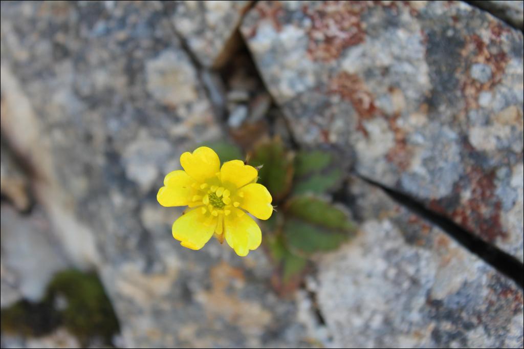
matthewmatthew updated the photograph, Creeping mapou
23 January 202323 January 2023.
location
-
 matthewmatthew updated the track, Jacks Pass Track
23 January 202323 January 2023.
matthewmatthew updated the track, Jacks Pass Track
23 January 202323 January 2023.
add gpx
-
matthewmatthew added the GPX file, Jacks Pass Track
23 January 202323 January 2023.
Route from Jacks Pass to Mount Isobel.
-
 matthewmatthew updated the place, Egmont National Park
29 March 202229 March 2022.
matthewmatthew updated the place, Egmont National Park
29 March 202229 March 2022.
Name change
-
matthewmatthew added the track, Mount Richardson Track
24 February 202124 February 2021.
Forested climb from Glentui Bush car park to the summit of Mount Richardson (1047m).
-
matthewmatthew updated the track, Blowhard Track
23 February 202123 February 2021.
fix link
-
matthewmatthew updated the track, Mount Richardson Bypass Track
23 February 202123 February 2021.
change return option
-
matthewmatthew added the GPX file, Mount Richardson Bypass Track
22 February 202122 February 2021.
This track pairs with the Mount Richardson Track to form a nice loop from Glentui Bush.
-
matthewmatthew added the GPX file, Mount Richardson Track
22 February 202122 February 2021.
Climb from Glentui Bush Road up to the summit of Mount Richardson (1047m).
-
matthewmatthew added the hut, Mataketake Hut
18 February 202118 February 2021.
New hut high on the Mataketake Range above the Haast to Paringa Cattle Track. This hut opened February 2021, as ...
-
matthewmatthew updated the hut, Goose Flat Hut
18 February 202118 February 2021.
destroyed by fire
-
matthewmatthew added the track, Peninsula Walk, Onahau Bay
11 February 202111 February 2021.
A short and easy loop coastal forest in Queen Charlotte Sound.
-
matthewmatthew added the track, James Vogel Track
10 February 202110 February 2021.
Short forest walk in Mistletoe Bay, Queen Charlotte Sound.
-
matthewmatthew updated the track, Ashley Gorge Waterfall Track
9 February 20219 February 2021.
again
-
matthewmatthew updated the track, Ashley Gorge Loop Track
9 February 20219 February 2021.
add notes
-
matthewmatthew added the GPX file, Ashley Gorge Waterfall Track
8 February 20218 February 2021.
Extension to the loop track, leading up to a 10m waterfall on a local unnamed creek.
-
matthewmatthew updated the track, Youngman Stream Hut to Tarn Hut
24 January 202124 January 2021.
add notes
-
matthewmatthew updated the track, Lillburn Route
23 January 202123 January 2021.
notes
-
 matthewmatthew updated the article, Online mapping links
23 January 202123 January 2021.
matthewmatthew updated the article, Online mapping links
23 January 202123 January 2021.
fix broken links and add new ones
-
matthewmatthew updated the track, Youngman Stream Track
23 January 202123 January 2021.
correct notes
-
matthewmatthew updated the hut, Tarn Hut, Lillburn Hill
22 January 202122 January 2021.
spelling
-
matthewmatthew added the GPX file, Lillburn Route
19 January 202119 January 2021.
Direct route up to Tarn Hut.
-
matthewmatthew added the GPX file, Youngman Stream to Tarn Hut
19 January 202119 January 2021.
Marked route between these huts.
-
matthewmatthew added the GPX file, Youngman Stream Track
19 January 202119 January 2021.
Valley walk up to Youngman Stream Hut.
-
matthewmatthew added the GPX file, Onahau Lookout
13 January 202113 January 2021.
Viewpoint on the Queen Charlotte Track.
-
matthewmatthew added the GPX file, James Vogel Track
13 January 202113 January 2021.
Forest walk above Mistletoe Bay.