Roaring Meg Pack Track
- 5 hr – 6 hr one way
- Easy/medium
- Tuohys Gully to Meg Hut: 2 hours, 6.5km
- Meg Hut to SH6: 3-4 hours, 12.5km
A route along the Roaring Meg, from Cardrona to the Kawerau Gorge.
1 member favourited
|
Walking time
|
1 – 2 days
5 hr – 6 hr
|
|---|---|
|
Distance
|
19.0km |
|
Type
|
One way
|
|
Grade
|
Easy/medium |
|
Bookings
|
No bookings — open access
No — open access
|
|
Starts
|
Tuohys Gully, Cardrona. From the Cardrona Valley Road, look for the Waiorau Snow Farm sign, and take Tuohys Gully Road. Turn right to get to Tuohys Gully. |
|---|---|
|
Ends
|
Near the Roaring Meg power station on SH6, Kawerau Gorge Road. |
|
Maps
|
NZTopo50-CC12
NZTopo50-CB12 |
|
Altitude
|
240m
–
1,140m
Altitude change 900m
|
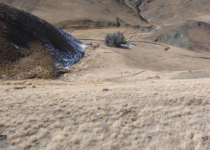
From the Tuohys Gully car park, a track climbs to Tuohys Saddle, at 1140m the highest point on the route. The track continues down on the right past Miners Hut (private) along a tributary of the Roaring Meg. Alternatively, a track leads left to the Meg Hut, about 1km away.
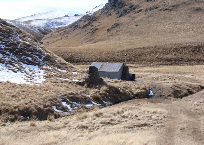
Continuing onward, a steep trail follows the Roaring Meg gorge, to end at Roaring Meg Dam. From here, a vehicle track leads down to the power station.
Walking times:
ID 8884
About this track
Added 15 January 2014 by matthewmatthew.
No revisions.
142 views in the past year (12 per month).