Mt Haast
Victoria Forest Park
- 4 hr – 6 hr return by the same track
- Easy/medium
A steep but satisfying climb. Great views and an alpine environment reasonably accessable from the road
|
Walking time
|
4 hr – 6 hr |
|---|---|
|
Distance
|
4.7km |
|
Type
|
Return by the same track
|
|
Grade
|
Easy/medium
Steep and the track is less well defined above bushline Grades explained
|
|
Bookings
|
No bookings — open access
No — open access
|
|
Starts
|
State Highway 7 |
|---|---|
|
Maps
|
NZTopo50-BT22
|
|
Altitude
|
640m
–
1,587m
Altitude change 947m
|
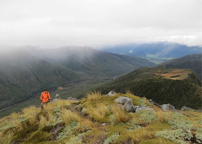
The track is well marked from the carpark and sign beside the highway. The slope is moderate at the beginning but increases as you approach bushline. There are good views above the bushline and the rest of the climb is apparent before you.
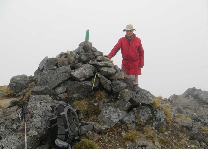
Above the bush the route is marked by steel poles but is less defined on the ground. Easier going for the sure footed may be found by boulder hopping up rockfalls on the way
ID 8572
About this track
42 views in the past year (4 per month).