Crosbie's Hut via Booms Track and Wainora Track
Coromandel Forest Park
- 1 – 2 days loop track with a road section
- Easy/medium
A return trip to Crosbie's Hut from the Kauaeranga Valley
|
Walking time
|
1 – 2 days
7 hr – 10 hr
|
|---|---|
|
Distance
|
18.8km |
|
Type
|
Loop track with a road section
|
|
Grade
|
Easy/medium
A little muddy in places Grades explained
|
|
Bookings
|
No bookings — open access
No — open access
|
|
Starts
|
Wainora Campsite, Kauaeranga Valley |
|---|---|
|
Ends
|
Booms Flat Campsite, Kauaeranga Valley |
|
Maps
|
NZTopo50-BB35
|
|
Altitude
|
123m
–
659m
Altitude change 536m
|
This trip can be done in either direction but starting at the Wainora end means that you have the high grade track going uphill.
The signpost marking the track is about 50m in from the entrance gate to the Wainora Camping area. The track is of a high standard, with steps and bridges as it goes up the Wainora stream and then climbs the ridge towards the top. On the way you pass two large Kauri trees, the roots of which are fenced off to protect them.
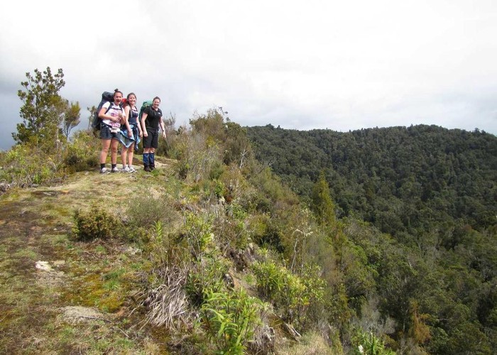
Somewhere along the climb the track deteriorates into more of a tramping track. At point 549 the track briefly emerges from the bush, allowing views back towards the impressive Table Mountain.
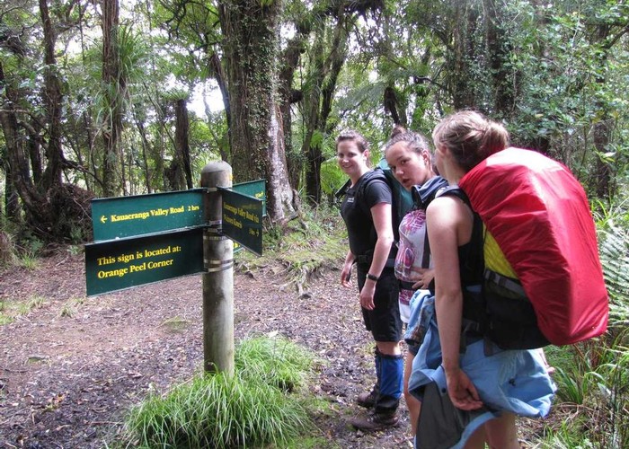
After a couple of scrambly bits the track climbs a little bit more before arriving at the signposted Orange Peel Corner. This is where the track from the Booms Flat Camping area joins.
The track continues, winding along the ridge, a little muddy underfoot at times. At one point, the geographically aware tramper will notice that the track passes within about 200m of the hut. This cries for a shortcut and it would certainly be worth investigating. However the track becomes benched At this point, obviously an old farm road, winding around to the south of point 646, meeting up with the Main Range track and then heading directly north to the hut.
Crosbie’s Hut is up a little side track, on top of the aptly named Lookout Hill.
To the north one will see a group of old pine trees. This is the location of the historic Crosbie’s Settlement. A marked track leaves from the hut, directly to the north and drops steeply to a clearing, with good camp sites, before joining the main track again.
Returning back from Crosbies, retrace your tracks back to Orange Peel Corner. The track then drops steeply and consistently before coming out at the Booms Flat Campsite.