Upper Whirinaki Loop
- 6 hr 30 min – 8 hr loop track
- Easy/medium
An Easy two day loop in the Whirinaki Forest park
|
Walking time
|
2 days
6 hr 30 min – 8 hr
|
|---|---|
|
Distance
|
20.0km |
|
Type
|
Loop track
|
|
Grade
|
Easy/medium
Some creek and river travel watch weather forcasts Grades explained
|
|
Bookings
|
No bookings — open access
No — open access
|
|
Starts
|
Plateau Rd Carpark southern end Whirinaki track |
|---|---|
|
Ends
|
Plateau rd carpark |
|
Maps
|
NZTopo50-BG38
|
|
Altitude
|
300m
–
984m
Altitude change 684m
|
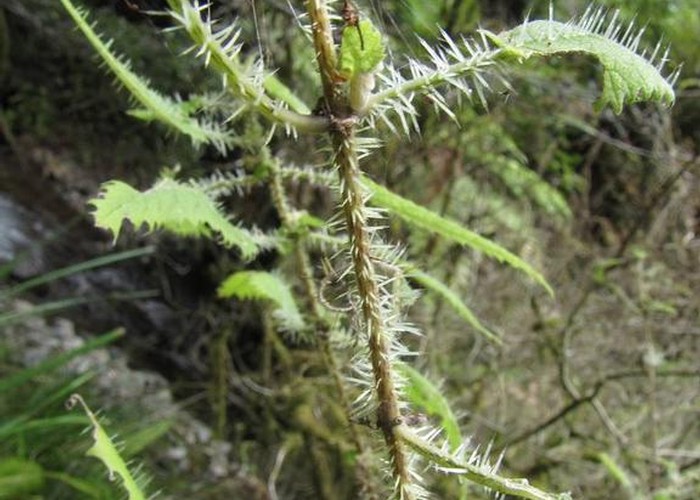
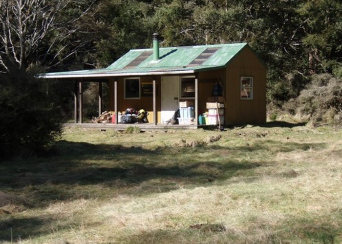
This track has some great Whirinaki bush with abundant wild life, an easy walk to stretch your legs and a tidy 9 bunk hut for the night.
Access:
Follow SH5 south of Taupo and turn left onto Pohokura Rd, after crossing a bridge you will see a DOC signpost, turn left here.
Follow the road and then turn right at the Circuit Rd, Waipunga Rdintersection.
After following this you will see a DOC post with no sign, turn left.
Turn right from Waipunga valley road, following DOC sign.
Left at sign for circuit road
Right on to pine milling road, following doc sign.
Left at doc signpost
You will pass a number of forestry roads on your right, left, left, right, left and right.
Follow the DOC sign to the left.
Straight past forestry road on right x2
Left at fork, ignore road on right
Right at fork
Left at fork in the road
Turn left at sign
Sign for Whirinaki tracks at end of road.
Metal road for about 1-1.5 hours from SH5, 4WD not necessarily a must, but definitely comforting. Keep a map and gps handy as the road signs are few with many forestry roads heading off all over the place.
Day 1:
Plateau Rd Carpark to caves is a graded walking track easy going about 1.5 hours.
About 100 metres upstream is a rather large cave worth visiting. Watch out for blue duck always seem to be a couple in residence. Caves to taumutu stream about 1/2 an hour a continuation of the well graded walking track.
At the junction with Taumutu stream you turn upstream at the wire brige and the track becomes a tramping track following the stream, prepare to get your feet wet, lots of crossings.
Exit the stream at a junction with a track to Mangamate hut and head roughly 1.5 hours south following the taumutu stream to Upper Whirinaki hut set at the back of a reasonable clearing. A relatively easy 3 to 4 hour day.
Day 2:
The next day exit the clearing at the northern end taking the Tehoe track for about 15 minutes to a crossing with the Upper Whirinaki river. The track back to plateau rd starts here climbing quickly to the ridge top and then down to plateau rd. 2.5 to 3 hours.