Blowhard Track
- 2 hr 30 min one way
- Easy/medium
- Car park to trig at 797m: 1 hour 10 minutes
- Trig to Bypass Track junction: 30 minutes
- Bypass Track junction to summit: 50 minutes
Alternative route to the summit of Mount Richardson (1047m) in the Canterbury foothills.
|
Walking time
|
2 hr 30 min |
|---|---|
|
Distance
|
9.4km |
|
Type
|
One way
|
|
Grade
|
Easy/medium
Generally, a smooth and easy track, with some snow poles near the top. Grades explained
|
|
Bookings
|
No bookings — open access
No — open access
|
|
Starts
|
Car park, Maori Reserve Road, Glentui |
|---|---|
|
Ends
|
Mount Richardson |
|
Maps
|
NZTopo50-BW22
NZTopo50-BW23 |
|
Altitude
|
300m
–
1,047m
Altitude change 747m
|
The Blowhard Track is a long but easy climb along a rolling ridge to the summit of Mount Richardson at the edge of the Canterbury Plains. The track is open to walkers, mountain bikes, and horses, but doesn't get as much use as the more direct Richardson and Bypass Tracks. You could combine it with the Richardson Track if you can place a vehicle at each road end, or you can simply walk in and back.
From the car park, follow a vehicle track through a gate. The track winds uphill through scrub, soon becoming a wide foot track climbing through forest.
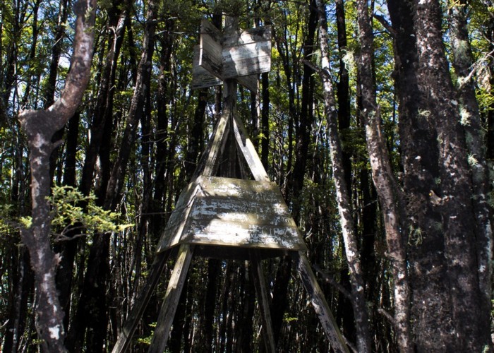
After about an hour, the track eases off and passes a wooden trig marker (797m) completely surrounded by forest now. Just east of here is an unmarked track that drops to the Garry River. This track was recut in 2008 and appears easy to follow.
Past the next rise, the track breaks out onto sub-alpine scrub. This area was forested until a lightning strike in 1980 caused a wildfire to sweep up the Lees Valley. Charred stumps still stand at the track edge.
Through a patch of forest, the Bypass Track junction is met. This track drops directly to the Glentui Picnic Area. Beyond here, it's an easy climb on the deforested ridge, with patches of red tussock and even the odd tōtara along the way. The track goes into forest again for a final push to the summit before breaking onto rocky tops of mānuka, coprosma, and turpentine scrub.
Up a dirt channel past an unmarked track leading down to the Lees Valley, poles mark the way. The summit is nearby, with good views across the Lees Valley to the Puketeraki Range.
Walking times
Further information on the Garry River track is here: http://www.routeguides.co.nz/routes/1386