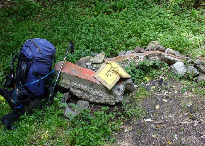
Mangawheno Forks Hut (removed)
HUT REMOVED
Just checked on DOC's website and this hut has been removed since my visit. The shortest lived hut on NZ tramper (2 minutes)?
Mangawheno Hut (4 bunk, open fire, firewood available, stream water) is a damp 4-bunk hut in the Uruwera ranges. It lies at the junction of the Mangawheno and Horomanga creeks, 2.5km from the roadend.
From the roadend to the hut a track follows the riverbank for all but the last 500m, where riverbed travel is required.
For those heading up the Mangawhero there's long sections of riverbed travel, with a few sections of track on the banks until you reach the steep climb to Pukira. The descent of Kaitawa Stream to Hanamahihi hut on the Whakatane River is likewise riverbed all the way. Note that Kaitawa Hut has been removed.
A track also follows the Horomanga River south past Midway Hut. Various tracks lead off this valley to the Whakatane River and the Lake Waikerimoana road.
|
Owner
|
Owner: DOC |
|---|---|
|
Category
|
Basic Hut/Bivvy |
|
Sleeps
|
Sleeps 4
4
|
|
Facilities
|
Open fireplace |
|
Water supply
|
Tap or tank water |
|
Getting there
|
Troutbeck Rd, Galatea (V17 2843920,6303355): -> roadend (2.5km, 30 mins-1hr) Hanamahahihi Hut (Whakatane river track) (W17 2855635, 6300540): -> old kaitawa Hut site (9km, 3-4 hrs, riverbed route, rough track over tops) -> Hanamahihi Hut (6km, 2-3 hrs, riverbed route, often in water through gorges) -> Midway Hut (5km) -> ... |
|---|---|
|
Unlocked
|
This hut is unlocked and open to access. |
|
Bookings
|
No bookings — open access
No — open access
|
|
Altitude
|
270m |
|---|---|
|
Mobile phone coverage
|
No coverage |
|
Maps
|
NZTopo50-BF39
|