Mount Herbert: Kaituna Valley approach
- 6 hr return by the same track
- Easy/medium
- Kaituna Valley to Sign of the Packhorse: 1 hour
- Hut to bluffs: 1 hour
- Bluffs to Mount Herbert Shelter: 45 minutes
- Shelter to summit: 15 minutes
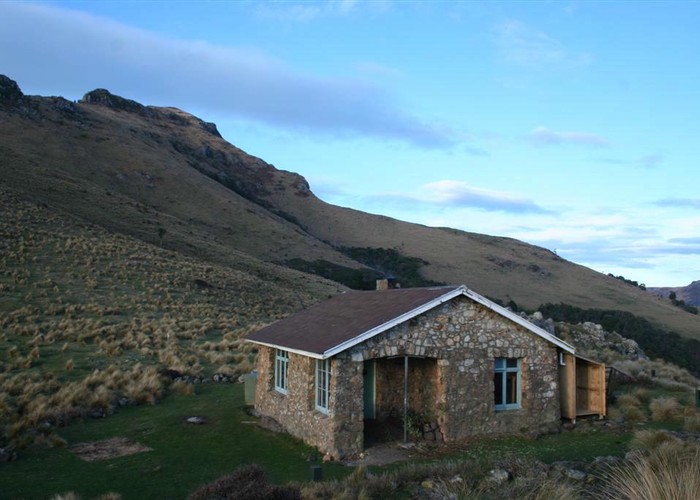
A gentle climb to an historic hut, and onward to Mount Herbert / Te Ahu Patiki (919m).
|
Walking time
|
1 day
6 hr
|
|---|---|
|
Distance
|
15.0km |
|
Type
|
Return by the same track
|
|
Grade
|
Easy/medium |
|
Bookings
|
No bookings — open access
No — open access
|
|
Starts
|
Parkinsons Road, Kaituna Valley |
|---|---|
|
Maps
|
NZTopo50-BX24
|
|
Altitude
|
50m
–
920m
Altitude change 870m
|
Note: this track is closed for lambing August to October.
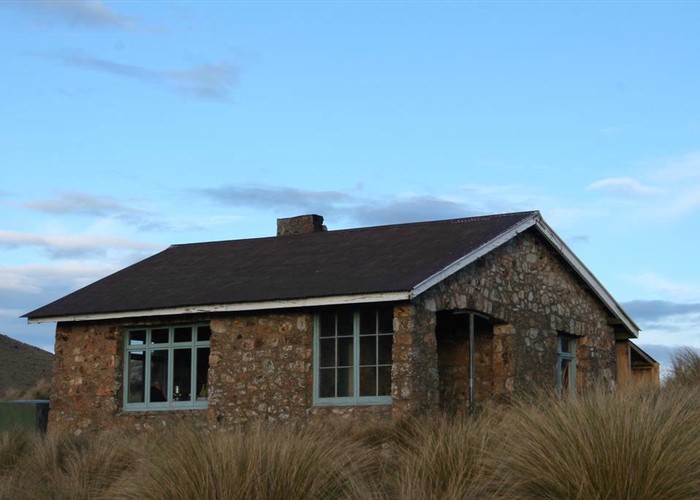
From the bend in Parkinson's Road, a poled trail leads along a four-wheel drive track over farmland and through regenerating scrub. The track soon crosses a little creek and climbs the hillside to Packhorse Hut on the saddle. This section is described in detail elsewhere.
From the hut, follow the poled route around the southern face of Mount Bradley. The track passes through a welcome patch of forest before climbing over tussock to a high sidle just under the bluffs near the top of the mountain.
A rocky track leads under the bluffs to the southern face of Bradley's eastern spur, and wanders through gorse. Gaiters are a good idea here. The track soon crosses a fenceline and meets the track up from Orton Bradley Park. The Mount Herbert Shelter is another 10 minutes along, with the summit 15 minutes further.