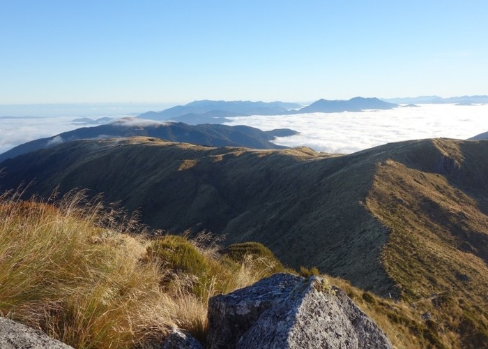
Nthn Brunner Range from Mt Curtis

1 member favourited
This photo taken from the summit of Mt Curtis (1412m) about 8am in the morning looks generally northward. The hill just left of center in the distance with wispy cloud above the tussock is Boundary Peak. (the hill beyond the bush dip)
I walked to Boundary Peak from Mt Curtis as part of a return day trip from Mt Curtis Hut. Once there I had a look at a memorial stone on the summit, the adjacent repeater and trig a little down the ridge, and the hut down on the bush edge where I had an early lunch. It took a bit under 4 hrs each way between Boundary Peak and Mt Curtis Huts with several short stops coming and going. Most stops were to photograph chamois and the landscapes.
The location pointers show Mt Curtis and Boundary Peak.
