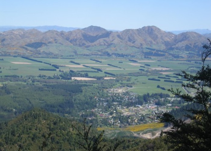
Mount Isobel
Hanmer Forest Conservation Park
- 3 hr – 3 hr 30 min return via same track.
- Easy/medium
A brief climb to the peak behind Hanmer Springs.
4 members favourited
12 members checked in
|
Walking time
|
3 hr – 3 hr 30 min |
|---|---|
|
Distance
|
7.0km |
|
Type
|
Return via same track.
|
|
Grade
|
Easy/medium |
|
Bookings
|
No bookings — open access
No — open access
|
|
Starts
|
Clarence Valley Road (follow Jacks Pass signposts) to Pawsons Road junction, marked by a water tank. |
|---|---|
|
Maps
|
NZTopo50-BU24
|
|
Altitude
|
520m
–
1,319m
Altitude change 799m
|
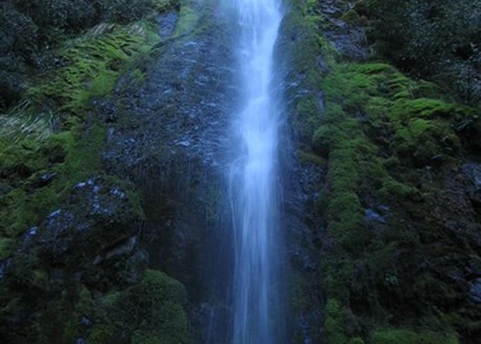
Over a stile, the track leads through plantation larch forest, climbing gradually into native scrub. At a junction, the track ahead continues briefly to the 41m Dog Stream Waterfall, while the Mount Isobel route turns sharply uphill and climbs directly to the ridge (1195m).
A poled route drops to the north east down to Jacks Pass. The Mount Isobel route follows the easy, barren ridge to the northeast before climbing quickly to the summit (1319m). A poled route continues onward to Jollies Pass.
Times are 1 hr 20 min to the ridge, and a further 20 minutes to the summit.
ID 1380
About this track
Added 20 March 2006 by matthewmatthew.
No revisions.
87 views in the past year (7 per month).