Lake Hill Track
Hakatere Conservation Park
- 1 hr return by the same track
- Easy
A short walk to a modest hill with grand views over Lake Heron.
|
Walking time
|
1 hr |
|---|---|
|
Distance
|
2.0km |
|
Type
|
Return by the same track
|
|
Grade
|
Easy |
|
Bookings
|
No bookings — open access
No — open access
|
|
Starts
|
Lake Heron car park. Turn off the Hakatere Heron Road at the southern end of Lake Heron and follow the access road to the road end car park. |
|---|---|
|
Maps
|
NZTopo50-BX19
|
|
Altitude
|
691m
–
762m
Altitude change 71m
|
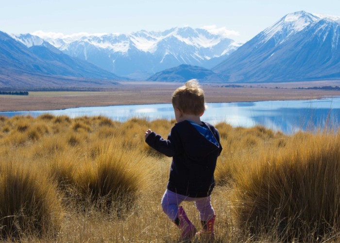
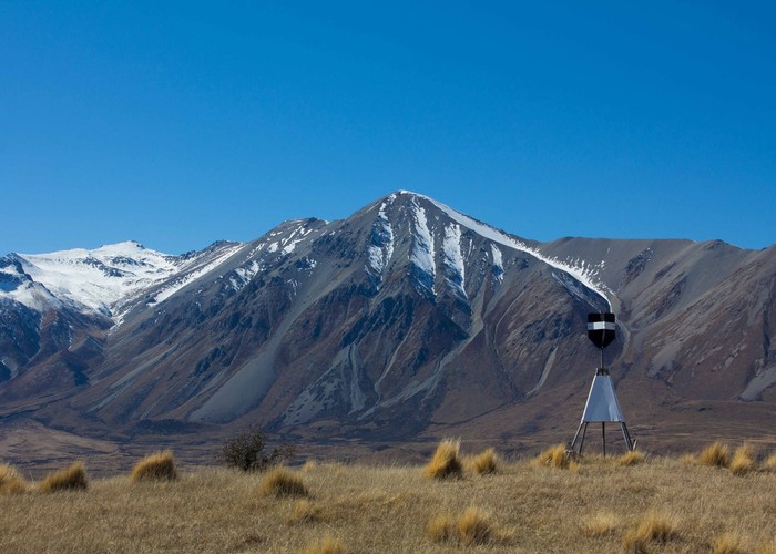
Lake Heron occupies a basin that is being infilled steadily by alluvial gravels. The lake is pushed out of shape by a couple of broad river fans spreading from the Cameron River and Swin Stream. Lake Hill is a small glacial mound that offers generous views across the lake, up the Cameron Valley to the impressive Arrowsmith Range.
From the Hakatere Heron Road, turn off onto the shingle access road at Lake Heron. Follow the lake edge to the car park (toilets here).
A 4WD track continues on to Harrison's Bight -- this track is open in summer months to vehicles. Follow it on foot over a small stream, to the marked Lake Hill turn off after 10 minutes.
A poled route leads up the gentle tussock slope to the summit trig marker. There are a few patches of matagouri at shin level which may be a problem for small children, but generally the walk is easy and very rewarding.
Watch for black-fronted terns, oystercatchers, Australasian grebes, ducks, swans, and skylarks.
Walking time: 30 minutes each way.