Alder Track / Ridge Track / Scotts Saddle Track circuit
Hakatere Conservation Park
- 1 hr 45 min loop track
- Easy/medium
- Alder Track / Ridge Track / Scotts Saddle Track circuit: 1 hour 45 minutes.
- Opuke Track / Ridge Track / Scotts Saddle Track circuit: 1 hour 30 minutes.
- Alder Track / Ridge Track / Opuke Track circuit: 1 hour 15 minutes.
- Alder Track: 20 minutes, 800m
- Ridge Track, Alder Track to Opuke Track: 25 minutes, 1.2km
- Ridge Track, Opuke Track to Scotts Saddle Track: 20 minutes, 1km
- Scotts Saddle Track, Ridge Track to road: 35 minutes, 1km
A loop track in forest at the foot of Mount Hutt. Several variations are available.
|
Walking time
|
1 hr 45 min |
|---|---|
|
Distance
|
3.8km |
|
Type
|
Loop track
|
|
Grade
|
Easy/medium |
|
Bookings
|
No bookings — open access
No — open access
|
|
Starts
|
Awa Awa Rata Reserve, at the end of McLennans Bush Road, Pudding Hill. |
|---|---|
|
Maps
|
NZTopo50-BX20
|
|
Altitude
|
520m
–
800m
Altitude change 280m
|
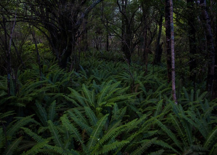
Awa Awa Rata Reserve is a picnic area at the end of McLennans Bush Road at the southern end of the Mount Hutt Range. The picnic area offers tables, toilets, a shelter, and ample space. It is known for its rich displays of rhododendrons courtesy of the Awa Awa Rata Reserve Society. These were first planted in 1968, with further plantings continuing to this day. Behind the reserve is Pudding Hill Scenic Reserve, and surrounding that is the Hakatere Conservation Park, all in close proximity.
The Ridge Track follows the low ridge at the back of Pudding Hill Scenic Reserve. Three tracks run up to meet it. From south to north these are the Alder Track, the Opuke Track, and Scotts Saddle Track. So there are a number of options for circuits.
The first of these is described here.
The Alder Track starts off to the left behind the toilet block. It meanders under black beech trees, passing the start of the short Te Awa Awa Walk, and then passing under alder trees with a native understorey. As the track climbs, it passes beneath a forest of larches before coming to the junction on an easy ridge. These larches and alders were planted in 1930.
At the junction, an unmarked trail leads down the ridge to a Christian Camp, another trail drops down the far side of the ridge to Pudding Hill Stream, and the Ridge Track climbs off to the right. Take the Ridge Track, which climbs quickly before easing off and following a gentle ridge. There are occasional views down into Pudding Hill Stream with the Pudding Hill Range beyond. The forest is a larch with an understorey of horopito and various native shrubs. The track passes the top of the Opuke Track and meets the Scotts Saddle Track coming up quickly from the right.
Scotts Saddle Track drops through damp south-facing native forest with some large trees of broadleaf and the odd totara. It is a steeper, muddier, and rougher track than the others. Soon it upon a junction with the top of the road through the reserve off to the right. Walk down the road back to the shelter or take the left branch, which is the Rhododendron Track down. Either way is 5 minutes.
Walking times: