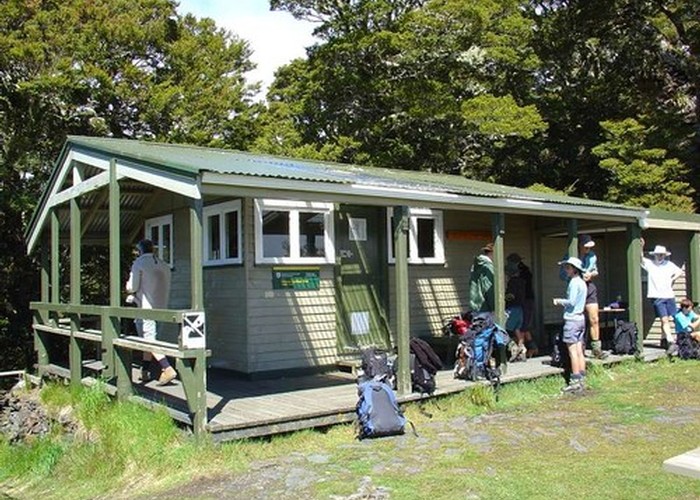
Mt Arthur Hut
Kahurangi National Park
- 3 hr loop track
- Easy/medium
- Flora car park to Flora Saddle: 10 minutes, 950m
- Flora Saddle to Mt Arthur Hut: 1 hour 15 minutes, 3.6km
- Mt Arthur Hut to Flora Hut: 1 hour, 2.6km
- Flora Hut to Flora Saddle: 30 minutes, 2km
- Flora Saddle to Flora car park: 10 minutes, 950m
Easy loop to a hut at the bushline of the Arthur Range.
1 member favourited
1 member checked in
|
Walking time
|
0 – 2 days
3 hr
|
|---|---|
|
Distance
|
7.6km |
|
Type
|
Loop track
|
|
Grade
|
Easy/medium |
|
Bookings
|
No bookings — open access
No — open access
|
|
Starts
|
Flora car park, Graham Valley South Branch Road, Motueka Valley. |
|---|---|
|
Maps
|
NZTopo50-BQ24
|
|
Altitude
|
930m
–
1,301m
Altitude change 371m
|
From the car park, a short walk leads up to Flora Saddle (1000m). The Mt Arthur Walk branches off to the left here and eases up to the hut on the bushline at about 1300m.
A short walk onto the alpine tops is worthwhile from the hut. If you are adequately prepared, longer walks to Mt Arthur (1795m) or Gordons Pyramid (1489m) are options.
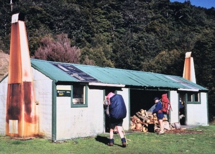
From the hut, a track heads northeast, along a ridge just on the bushline, and then drops easily to Flora Hut.
The final leg up Flora Stream to Flora Saddle and out to the car park is easy walking.
Walking times
ID 9061
About this track
Added 18 March 2014 by matthewmatthew.
No revisions.
49 views in the past year (4 per month).