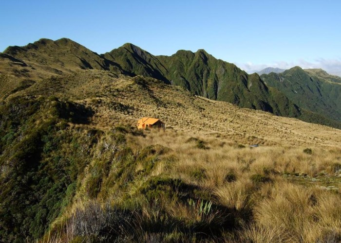
Mt Brown hut & Newton Range April 2013

This photo shows how the popular Mt Brown hut sits in relation to the Newton Range.
As well as tramps to or from Mt Brown & the hut from the lower Styx or Geologists Creek there is the option of tramping the Newton Range and accessing the upper Styx or Arahura valleys. Volunteers have partially completed cutting a route through the scrubby dip east of Mt Brown. Beyond the dip it is mainly tussock travel along the range to the Newton Range bivvy.
Just before the biv a marked route maintained by the Permolat Group heads down to the Styx River not far below Grassy Flat hut. E beyond the bivvy after another scrubby dip that has a rough trail through it is a steep cullers track recently reopened by Permolat members that leads to Lower Arahura hut.
So for the more adventurous heading up to Mt Brown hut be aware of options to continue along the Newton Range. More detailed information can be found on the Permolat site.
