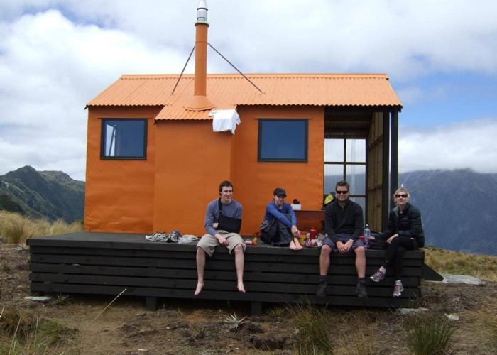
Mt Brown Hut
- 7 hr loop track with a road section
- Medium
A circuit in the foothills behind Hokitika. Excellent views and a nice little hut.
6 members favourited
4 members checked in
|
Walking time
|
1 – 2 days
7 hr
|
|---|---|
|
Distance
|
11.5km |
|
Type
|
Loop track with a road section
|
|
Grade
|
Medium
Steep stracks, some route finding, river hazards, and tops travel. Grades explained
|
|
Bookings
|
No bookings — open access
No — open access
|
|
Starts
|
Styx River car park, Upper Kokatahi Road, Kokatahi, southeast of Hokitika. |
|---|---|
|
Maps
|
NZTopo50-BV19
|
|
Altitude
|
100m
–
1,130m
Altitude change 1,030m
|
|
Link
|
remotehuts.co.nz/huts/mt._brown_huthttp://remotehuts.co.nz/huts/mt._brown_hut |
|---|