Opureke Track to Matakuhia Stream

An exploratory walk to determine the current state of the Opureke track.
1 member favourited
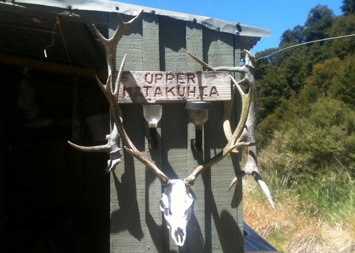
On November 24, 2012, my brother and I walked in to the Matakuhia Stream via the Opureke Track, in order to determine the viability of the track for access to hunting areas in and around the Matakuhia catchment. The track has been kept useable by hunters for the first 1 1/2 hours or so from the Waipunga, after which it becomes very overgrown, hard to follow, and in places washed out by slips that are steep and dangerous to cross. There are also some steep faces that make perilous traverses as the track across them has deteriorated badly. Ongaonga begins to show up from about the half-way point and there are some large and healthy patches of it further down towards the stream. Once down to the Matakuhia the first thing that strikes the eye is the enormous damage done by the big rain event that hit the area a while back. The stream has been thoroughly scoured by the vast quantity of water and debris that came down in the flood and you don't have to travel very far up or downstream before you begin to encounter large tangles of fallen trees in the stream bed and slips and scouring extending tens of metres up the sides - in some cases obliterating large sections of the DoC track between the Upper and Lower Matakuhia huts. We camped just downstream from the track junction and walked out to the Waipunga in five hours carrying packs and rifles. This is not a walk for the inexperienced.
It's hard to envision DoC doing any remedial work on the Opureke Track - the only work done on it for years has been carried out by private individuals and it would be enormously expensive to bring it up to a standard appropriate (and safe) for the wider tramping community. Sadly it looks likely that the track will be left to "revert" and the only access to Lower Matakuhia will be by helicopter.
Comments
-
vogtin Hi just wondering if you have headed back this way at all recently? I am hoping to do the Opureke track from Upper Matakuhia Hut to the Waipunga stream on the forestry road and then walk to SH5 and hitch to Taupo. Thanks
22 September 2021
-
 Ruger Nice part of the world though Tony worth the effort to get into, I try to do at least one trip in there each year
I was in the Upper Whirinaki catchment the weekend before managed to nail a well conditioned stag out of there. Very steep climb back up the Ridge Track to Plateau Road with a full pack of venison.
26 November 2012
Ruger Nice part of the world though Tony worth the effort to get into, I try to do at least one trip in there each year
I was in the Upper Whirinaki catchment the weekend before managed to nail a well conditioned stag out of there. Very steep climb back up the Ridge Track to Plateau Road with a full pack of venison.
26 November 2012
ID 8342
About this article
License
All rights reserved
71 views in the past year (6 per month).