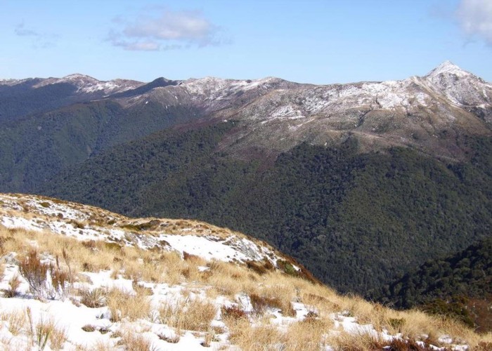
Croesus Track, Knob etc Sept 2012

This photo looks westward from Point 1074m on the tops dividing the Moonlight & Croesus tracks. You can see the benched Croesus track, the two huts; Top hut & Ces Clark hut near the hairpin bend in the track. The sharp looking summit on the crest of the Paparoa Range is Croesus Knob.
We walked up to Point 1074m after using the Moonlight track as far as the toe of the ridge on the TR of the Left Branch of Moonlight Creek. This untracked ridge was followed to the tops. From Point 1074 it is a short descent to link with the track to an old mine above Garden Gully hut. (This track links with the Croesus track) This route between the Moonlight & Croesus tracks was once used by miners but is seldom used by anyone these days.
