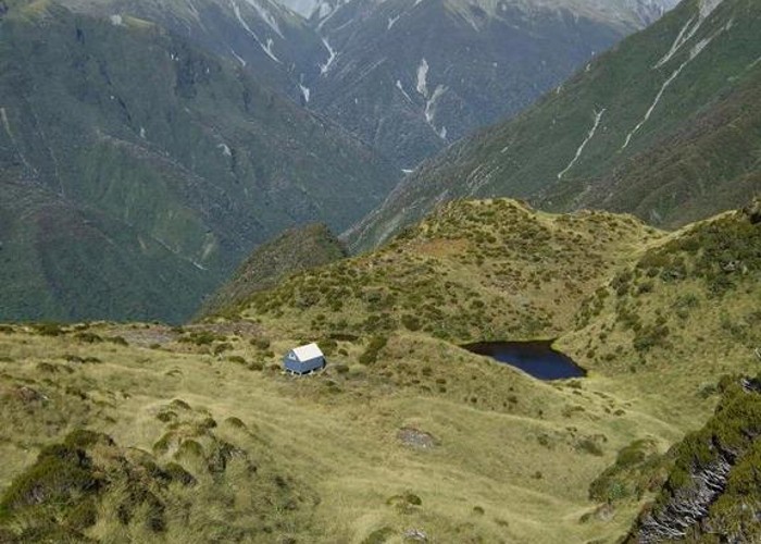
Setting of Pinnacle biv (aka Crinkletop biv) March 2012

This pic shows the replacement biv which was moved to this site in 2011. It is the same design & late 50's vintage as the old biv and has been located just 12 paces from where the old biv once was.
This photo was taken from the slopes of Mt Crinkletop above the biv and looks south east over the biv toward Crawford Junction where the Crawford and Kokatahi Rivers meet. The creek running up to the skyline in the background is Farquharson Creek with the saddle at its head being on the main divide. Farquharson Saddle is a seldom used tramping route into a tributary of the Wilberforce River, Canterbury.
