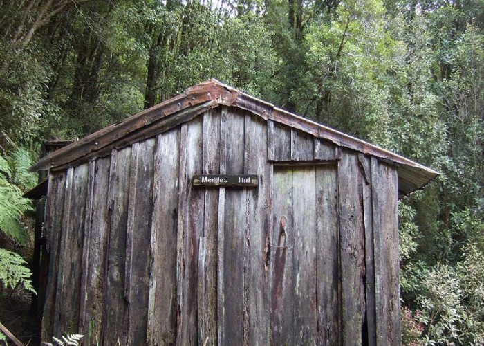
Meikles hut Moonlight track July 2011

This hut is derelict. Some people still use it as a place to stop for a boil up using the open fireplace despite a DOC sign saying the hut is dangerous to use. Meikles hut is located just above the Moonlight track in the upper reaches of the Right Branch of Moonlight Creek. [This is the West Coast Moonlight in this instance. The area is named after the same gold prospector Moonlight of Otago & Murchison area fame]
The hut appears to date from the 1930's but may be older? There was once quartz mining undertaken across the creek above the hut and there are the remains of an old stamper battery near the creek. I've taken map pointers from where the hut is marked on the topo 50 map but my instincts suggest that it is further upstream.
The Moonlight track connects with the better known Croesus track from Blackball to Barrytown via a a poled route heading SW along the crest of the Paparoa Range.
