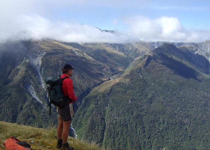
The bluff on the upper Hokitika River just above the Mungo confluence

This pic taken in 2009 before Bluff hut was shifted and upgraded shows the setting of the hut from the tops on the opposite side of the valley. I took it from high above Darby Creek near Mt Ross.
Bluff hut is now perched on one of the rocks on the TL of the Hoki near the top of the bluff. More or less at the upper edge of the scrub - tussock transition zone. It's approx 150m further back from the top of the bluff than the old hut was. It is MM in the photo.
