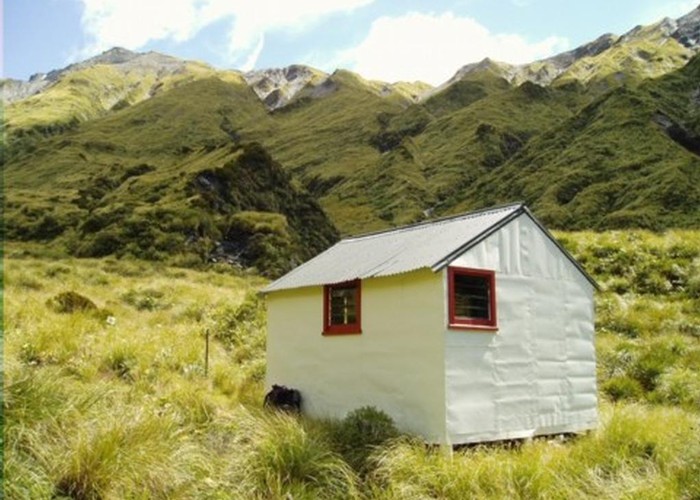
Price Basin hut
This hut, which is usually known as Price(s) Basin, is located on the TL of the TR branch of the Price River a major tributary of the Whitcombe River. It's in a basin that needs to be accessed by tops routes because lower down the Price River has an impassable gorge.
The hut is an NZFS 1960's four bunker. There is no open fire or stove.
|
Owner
|
Owner: DOC |
|---|---|
|
Category
|
Basic Hut/Bivvy |
|
Sleeps
|
Sleeps 4
4
|
|
Facilities
|
None |
|
Water supply
|
No water |
|
Getting there
|
There is tops access from the Whitcombe & various tributaries, Ivory Lake hut in the head of the Waitaha and a couple of the Mikonui tributaries. The Permolat/Remote Huts Westland website has more detailed route & access information. |
|---|---|
|
Unlocked
|
This hut is unlocked and open to access. |
|
Bookings
|
No bookings — open access
No — open access
|
|
Altitude
|
1,060m |
|---|---|
|
Mobile phone coverage
|
No coverage |
|
Maps
|
NZTopo50-BW18
|
ID 6565
About this hut
77 views in the past year (6 per month).