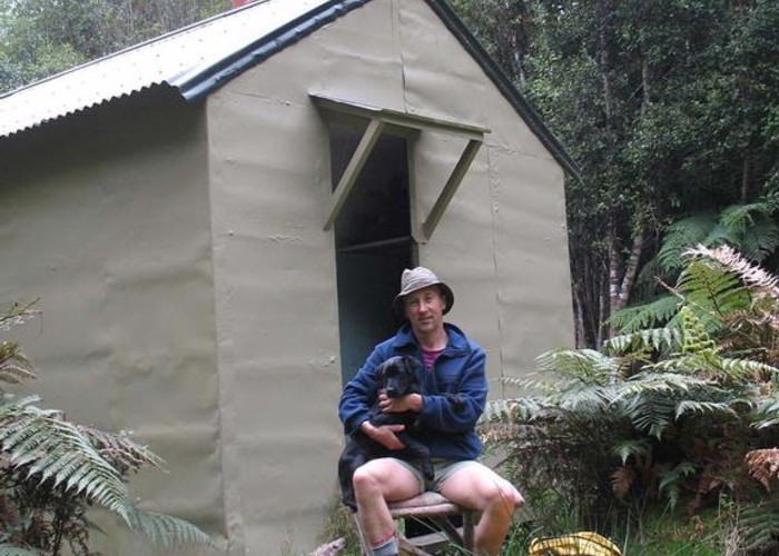
Polluck Creek hut
This hut is situated on a low terrace on the TR of the Kakapotahi River 700 metres above the junction with Polluck Creek. [This cathchment as well as being known as the Kakapotahi is also known as the Little Waitaha and Happy Valley] The hut is just beyond the upper end of the easy river flats at the base of a steep spur that runs up to Dickie Ridge.
This hut is mainly used by local hunters & gets little use from trampers despite being close to a roadend and being on a route to both the Tuke and Waitaha headwaters.
|
Owner
|
Owner: DOC |
|---|---|
|
Category
|
Basic Hut/Bivvy |
|
Sleeps
|
Sleeps 6
6
|
|
Facilities
|
Open fireplace |
|
Water supply
|
No water |
|
Getting there
|
From a forestry/farm road that leaves Highway 6 about 300 metres south of the Kakapotahi River bridge. Just before emerging from the forested land onto runoff farmland there is a locked gate. From here cut down a water course to the main river and follow it up to the hut. (It is quicker driving & walking across the farm runoff but you would need to get permission & a key if taking a vehicle. This may be too much hassle for a non local considering it's only 6km of easy going from gate to hut) |
|---|---|
|
Unlocked
|
This hut is unlocked and open to access. |
|
Bookings
|
No bookings — open access
No — open access
|
|
Altitude
|
295m |
|---|---|
|
Mobile phone coverage
|
No coverage |
|
Maps
|
NZTopo50-BV18
|