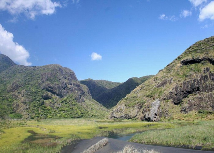
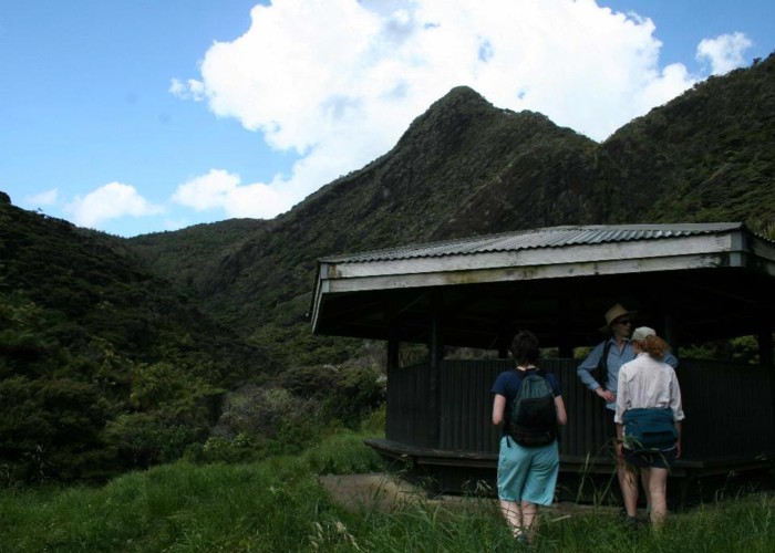
Hillary Trail
Waitakere Ranges Regional Park
- 4 days one way
- Easy/medium
- Day 1: Arataki Visitor Centre to Karamatura
11km, 4–5 hours
- Day 2: Karamatura to Pararaha
14.5km 8-9 hours
- Day 3: Pararaha to Craw Campground
17km 8-9 hours
- Day 4: Craw Campground to Muriwai Beach
27km 11-12 hours
A four-day walk in the Waitakere Ranges west of Auckland.
5 members favourited
6 members checked in
|
Walking time
|
4 days
31 hr – 35 hr
|
|---|---|
|
Distance
|
70.0km |
|
Type
|
One way
|
|
Grade
|
Easy/medium |
|
Bookings
|
No bookings — open access
No — open access
|
|
Starts
|
Arataki Visitor Centre, Scenic Drive, 6km from Titirangi |
|---|---|
|
Ends
|
Muriwai Beach |
|
Maps
|
NZTopo50-BB31
NZTopo50-BA30 NZTopo50-BB30 |
|
Altitude
|
420m
–
Sea level
Altitude change -420m
|
|
Link
|
www.arc.govt.nz/parks/our-parks/hillary-trail/hillary-trail_home.cfmhttp://www.arc.govt.nz/parks/our-parks/hillary-trail/hillary-trail_home.cfm |
|---|
The Hillary Trail was opened in January 2010, linking together existing tracks already managed by DOC or ARC with roads to form a multi-day journey. Book campsites along the track by contacting ARC at 0-9-366 2000 or by visiting the Arataki Visitor Centre. The Te Henga Walkway section may be closed for lambing between 1 August and 1 October. Note that this is a long trail with limited camping options and water supply. Further facilities will be added in future.
ID 5222
About this track
878 views in the past year (73 per month).