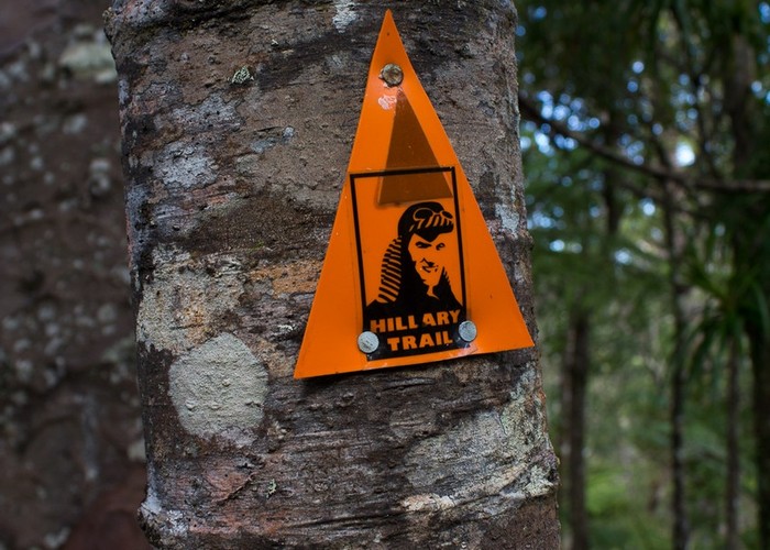
Hillary Trail
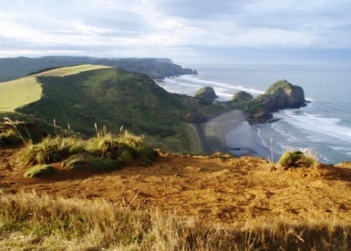
Waitakere Ranges Regional Park
- 4 days one way
- Medium
- Bookings required
- Day 1: Arataki Visitor Centre to Karamatura
11km, 4–5 hours
- Day 2: Karamatura to Pararaha
14.5km 8-9 hours
- Day 3: Pararaha to Craw Campground
17km 8-9 hours
- Day 4: Craw Campground to Muriwai Beach
27km 11-12 hours
A four-day walk in the Waitakere Ranges west of Auckland.
5 members favourited
6 members checked in
|
Walking time
|
4 days
31 hr – 35 hr
|
|---|---|
|
Distance
|
70.0km |
|
Type
|
One way
|
|
Grade
|
Medium
Long days, rough and muddy tracks. Grades explained
|
|
Bookings
|
Bookings required
Required
Campsites require bookings through Auckland Council.
|
|
Starts
|
Arataki Visitor Centre, Scenic Drive, 6km from Titirangi |
|---|---|
|
Ends
|
Muriwai Beach |
|
Maps
|
NZTopo50-BB31
NZTopo50-BA30 NZTopo50-BB30 |
|
Altitude
|
420m
–
Sea level
Altitude change -420m
|
|
Link
|
www.aucklandcouncil.govt.nz/EN/parksfacilities/walkingtracks/Pages/hillarytrail.aspxhttp://www.aucklandcouncil.govt.nz/EN/parksfacilities/walkingtracks/Pages/hillarytrail.aspx |
|---|
The Hillary Trail was opened in January 2010, linking together existing tracks with roads to form a multi-day journey. Book campsites along the track by contacting Auckland Council Parks on 09 301 0101 or by visiting the Arataki Visitor Centre. The Te Henga Walkway section may be closed for lambing between 1 August and 1 October. Note that this is a long trail with limited camping options and water supply. Further facilities will be added in future.
ID 5222
About this track
872 views in the past year (73 per month).