Mt Hikurangi, the one near Galatea
Te Urewera
- 6 hr – 8 hr return via same track
- Easy/medium
This is a satisfying day trip from Galatea. The track hasn’t had much maintenance and is over grown and the pad on the ground has faded away pretty much. However there are still markers so it is easy to follow with care.

|
Walking time
|
1 day
6 hr – 8 hr
|
|---|---|
|
Distance
|
9.4km |
|
Type
|
Return via same track
|
|
Grade
|
Easy/medium
Track is overgrown and needs care to follow. Steep at some points Grades explained
|
|
Bookings
|
No bookings — open access
No — open access
|
|
Starts
|
The end of Troutbeck rd |
|---|---|
|
Maps
|
NZTopo50-BF39
|
|
Altitude
|
200m
–
930m
Altitude change 730m
|
From the end of Troutbeck Rd this track begins by going through the farmyards and up a long cattle race to the edge of the bush. The farmer lives in the house immediately to the south of the race so pop in and ask permission. He is a very amenable fellow so I doubt there will be a problem.
The race goes straight up towards the bush and then turns hard to the right at the end. Towards the bush you will see a line of large poplar trees. Make your way to these and you will see some permolat markers on the first tree. From there make your way south and cross the small budleah filled stream to the south of the trees. Follow up the paddock and you will pick up and orange marker or two on the fence to your right. Continue along the fence. It has two bends in it as it turns away from the stream and heads up hill. At the second bend there is an old permolat marker on the fence post. This is where you leave the fence and enter the bush. The old track entrance is obscured by blackberry so skirt around the blackberry, get into the bush and make your way to the edge of the stream. You will pick up old mildew covered orange track markers around here. The track follows up stream for about 200m and the markers are few and far between, don’t worry, it gets better further up.
Once in the bush and away from the damp stream the markers are easier to follow. But it soon becomes steep. It is a steep clamber for about 150m and the pad on the ground has largely been obscured by pig activity. Take care to follow the markers. Eventually the track gains a ridgeline and the slope eases a bit though still climbing steadily.
After about another 200m of climbing the track gains a ridge that veers to the south. It descends a little into a small saddle and over a couple of small bumps before continuing the final 100m climb to the top of Hikurangi. The track around here is obscured in places by fern. Watch for the markers. They are there so if you loose them go back to the last one and check again.
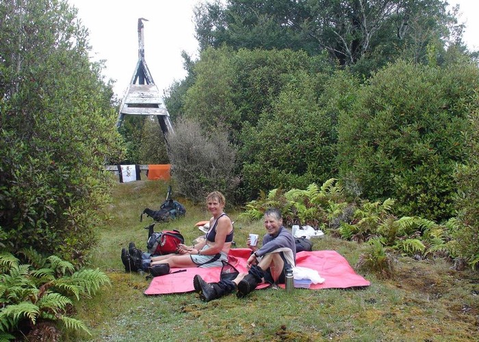
The top of Hikurangi is marked by a trig in a small clearing. There used to be a 360-degree view but the bush is growing up. Climb the trig for the best view.
If you have good off track skills and probably also a GPS you can continue along from here to Duckville Hut. There is no track and you have to make a couple of turns at ridge junctions in the bush.
Otherwise the return trip is the same way as you come up. Take care because there are one or two places where you can loose the track.
