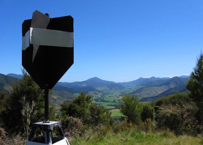
Pelorus Bridge Trig K
Mount Richmond Forest Park
- 4 hr loop track
- Easy
A walk near the popular Pelorus Bridge. You'll walk in mature lush native bush, along the Pelorus River, and get to cool down near the waterfall on the way back.
|
Walking time
|
4 hr |
|---|---|
|
Type
|
Loop track
|
|
Grade
|
Easy |
|
Bookings
|
No bookings — open access
No — open access
|
|
Starts
|
Pelorus Bridge Visitors Centre car park |
|---|---|
|
Maps
|
-
|
|
Altitude
|
39m
–
419m
Altitude change 380m
|
|
Link
|
www.doc.govt.nz/parks-and-recreation/tracks-and-walks/nelson-marlborough/sounds-area/pelorus-scenic-reserve-walking-tracks/http://www.doc.govt.nz/parks-and-recreation/tracks-and-walks/nelson-marlborough/sounds-area/pelorus-scenic-reserve-walking-tracks/ |
|---|
Lovely piece of native bush with mature Kahikatea and Rimu. Either go straight up and back down, or continue on further down to do the loop track (about the same total time). DOC rated at 4 hours return. Starts off wheechair easy for the nature walk, then quickly changes to easy native forest hill climb with only the odd root in the way. Nice dense green all the way up to the top, where suddenly you see some pine (argh) and a view towards Tasman. Back down, there is a little more root hopping to the waterfall. Great place to grab a snack and then follow the Pelorus River back to the car park. If you feel like a reward, make your way to the cafe/visitors centre near the car park.