Mount Herbert: Western Valley Road approach
- 2 hr 45 min return by the same track
- Easy
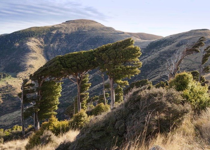
A straightforward route along the unconstructed section of the Summit Road to the highest point on Banks Peninsula: Mount Herbert / Te Ahu Patiki (919m).
3 members favourited
|
Walking time
|
2 hr 45 min |
|---|---|
|
Distance
|
10.0km |
|
Type
|
Return by the same track
|
|
Grade
|
Easy |
|
Bookings
|
No bookings — open access
No — open access
|
|
Starts
|
Western Valley Road, saddle between Port Levy and Little River. Most straightforward access from Christchurch is via Little River. |
|---|---|
|
Maps
|
NZTopo50-BX24
|
|
Altitude
|
670m
–
920m
Altitude change 250m
|
Note: this track is closed for lambing from 1 August to end October.
Starting at the pretty 670m saddle between Port Levy and Little River, follow the surveyed course of the unconstructed Summit Road. An easy walk with little climbing.
ID 423
About this track
131 views in the past year (11 per month).