Summit Road Walkway
- 2 – 3 days one way.
- Easy/medium
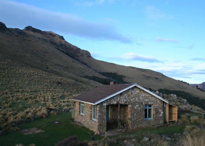
This track was originally surveyed as part of the Banks Peninsula Summit Road. The physical road was never contructed, but the legal access remains. Farmland and forest reserves, expansive views. Note: Closed for lambing August - October
4 members favourited
3 members checked in
|
Walking time
|
2 – 3 days
11 hr – 14 hr
|
|---|---|
|
Distance
|
27.0km |
|
Type
|
One way.
|
|
Grade
|
Easy/medium |
|
Bookings
|
No bookings — open access
No — open access
|
|
Starts
|
Gebbies Pass, Gebbies Pass Road between Teddington and Motukarara. There are alternative access points. |
|---|---|
|
Ends
|
Hilltop, SH75 (Christchurch Akaroa Road). |
|
Maps
|
NZTopo50-BX24
NZTopo50-BX25 |
|
Altitude
|
160m
–
913m
Altitude change 753m
|
ID 406
About this track
106 views in the past year (9 per month).